
A 7.4 magnitude earthquake off Ternate, Indonesia prompts cancellation of tsunami warning.
A magnitude 7.4 earthquake struck the Northern Molucca Sea off the coast of Ternate, Indonesia, on April 1, 2026. The quake, initially recorded at a magnitude of 7.8, occurred at a depth of 35 kilometers (22 miles), according to the United States Geological Survey (USGS). The epicenter was located approximately 120 kilometers (75 miles) from Ternate, in North Maluku province.
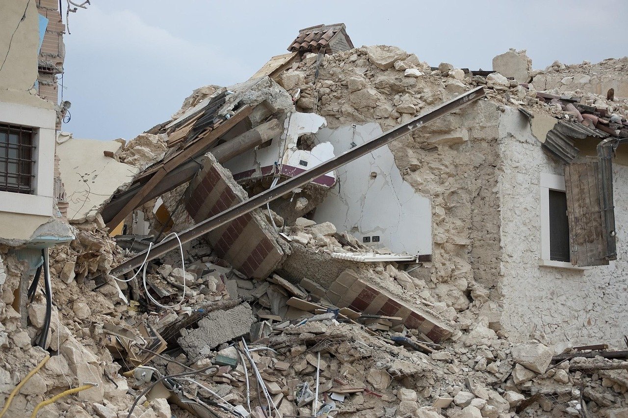
The earthquake resulted in at least one fatality, with reports indicating that a building collapse in the city of Manado, North Sulawesi province, led to the death of an individual. A local search and rescue official confirmed that the victim was trapped under the rubble. Additionally, one person sustained a leg injury due to the quake’s impact.
In the immediate aftermath, local authorities in Ternate and Tidore advised residents to prepare for potential evacuations. Images broadcast by Metro TV showed damage to buildings in affected areas. The Hawaii-based Pacific Tsunami Warning Center (PTWC) initially issued a tsunami warning, indicating that hazardous waves could affect regions within 1,000 kilometers (621 miles) of the epicenter, including the coasts of Indonesia, the Philippines, and Malaysia.
Following the earthquake, waves measuring up to 75 centimeters were recorded in North Minahasa and 20 centimeters in Bitung, both located in northern Sulawesi. North Maluku province also reported waves of 30 centimeters. However, the PTWC lifted the tsunami warning just over two hours after the tremor, stating that the tsunami threat had passed.
Indonesia is situated along the Pacific Ring of Fire, an area known for its high seismic activity due to the convergence of tectonic plates, making it prone to earthquakes.